Geologic Mapping in Florissant Fossil Beds National Monument Using GIS Collection Methods Saturday, February 25th at 11:00 a.m. |
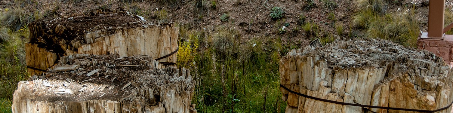
| Florissant Fossil Beds National Monument is a geologic wonder, with hundreds of perfectly preserved species of plants and insects within five units of the Florissant Formation. The park’s geologic units were last mapped in the 1990s with paper topographic maps marked by hand. Utilizing high-accuracy GNSS receivers and mapping software, we can now map the geologic units within Florissant with up to 5 cm accuracy, vastly improving the geologic map and further protecting the paleontological resources abundant in the park. Addie Rich (pictured below) began the updated mapping process in June 2022 and presented her work at the end of the season at the 2022 GSA Annual Meeting in Denver. She is excited to share that presentation with you all. As a native of southern Utah, Addie grew up with a love for the National Parks and the NPS. She attended Southern Utah University, graduating in 2022 with a Bachelor’s in Geology and Certification in Geographic Information Systems. Addie interned at Florissant Fossil Beds National Monument from June to October of last year. She began updating the park’s geologic map and presented her work at the 2022 GSA Annual Meeting in Denver at the end of her internship. Addie is excited to continue her geology and GIS career and plans to attend graduate school in 2024. To register for this event, click here. |
